Outline Map of Cities in Richmond and Manchester and Vicinity, F.W. Beers, 1876
Dublin Core
Title
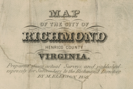
Outline Map of Cities in Richmond and Manchester and Vicinity, F.W. Beers, 1876
Creator
Beers, F. W.
Source
F. W. Beers, Illustrated Atlas of the City of Richmond, 1876. Accession 36095, Local government records collection, The Library of Virginia, Richmond, Va. 23219.
Date
1876
Coverage
Still Image Item Type Metadata
Original Format
Map
Files

Collection
Citation
Beers, F. W. , “Outline Map of Cities in Richmond and Manchester and Vicinity, F.W. Beers, 1876,” Online Exhibitions, accessed December 30, 2025, https://www.virginiamemory.com/online-exhibitions/items/show/1.