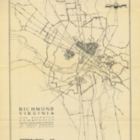
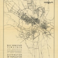
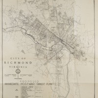
Mid-Century Maps
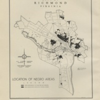
During the first half of 20th Century, neighborhood segregation by race was mandated by the City of Richmond with aid and support from the State. Each time, however, the U.S. Supreme Court declared the laws unconstitutional. By the 1940’s, neighborhood segregation was enforced largely by the private real estate market through:
- dual listings of properties by race
- steering home buyers to either black or white neighborhoods depending on the race of the person looking for a home
- private covenants that restricted a white home owner’s sale of property to only whites and often only to those of the Christian religion
- discriminatory lending practices by private mortgage companies
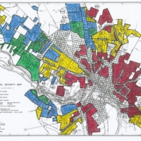
During the New Deal, all black neighborhoods in Richmond were deemed of lower grade than white neighborhoods and colored red on maps provided by the Homeowners Loan Corporation (HOLC). In the early 1940s, public housing made its appearance in Richmond with the 1950s witnessing the largest number of public housing projects erected, all of them in East End Richmond. During the 1950’s and through the first half of the 1970s, due to highway construction, slum clearance, and urban renewal, thousands of blacks were displaced from their neighborhoods with middle income and professional black families moving to adjoining white neighborhoods--thus causing white flight--and low income blacks forced into public housing. Over time, black poverty mushroomed in both East End and South Side Richmond.
